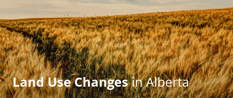
Annual Report 2019: Land Use Changes in Alberta – https://open.alberta.ca/
In 2019, Alberta had a net loss of over 13,700 hectares of agricultural land – similar to the area of the City of Lethbridge.
The total area of agricultural land in Alberta and the degree of fragmentation is monitored by Alberta Agriculture and Forestry. Year-over-year, this data contributes to land use decisions within agricultural regions in the province. The data is summarized in an annual report.
See the 2019 report: Land Use Changes in Alberta (PDF).
There are two primary concerns regarding agricultural land in Alberta:
- Loss of agricultural land to other land uses (conversion)
- Fragmentation of agricultural land
The report includes the proportions between agricultural and non-agricultural land, net change over the past year, and the amount of agricultural land by suitability for agriculture. Fragmentation is measured by summing all the agricultural sites of a certain size. If the number of small sites grows, then fragmentation may be present. Data is reported for each of the seven Land-use Framework regions.
Alberta Agriculture and Forestry has current and historical data and maps available on agricultural fragmentation and conversion.


Recent Comments