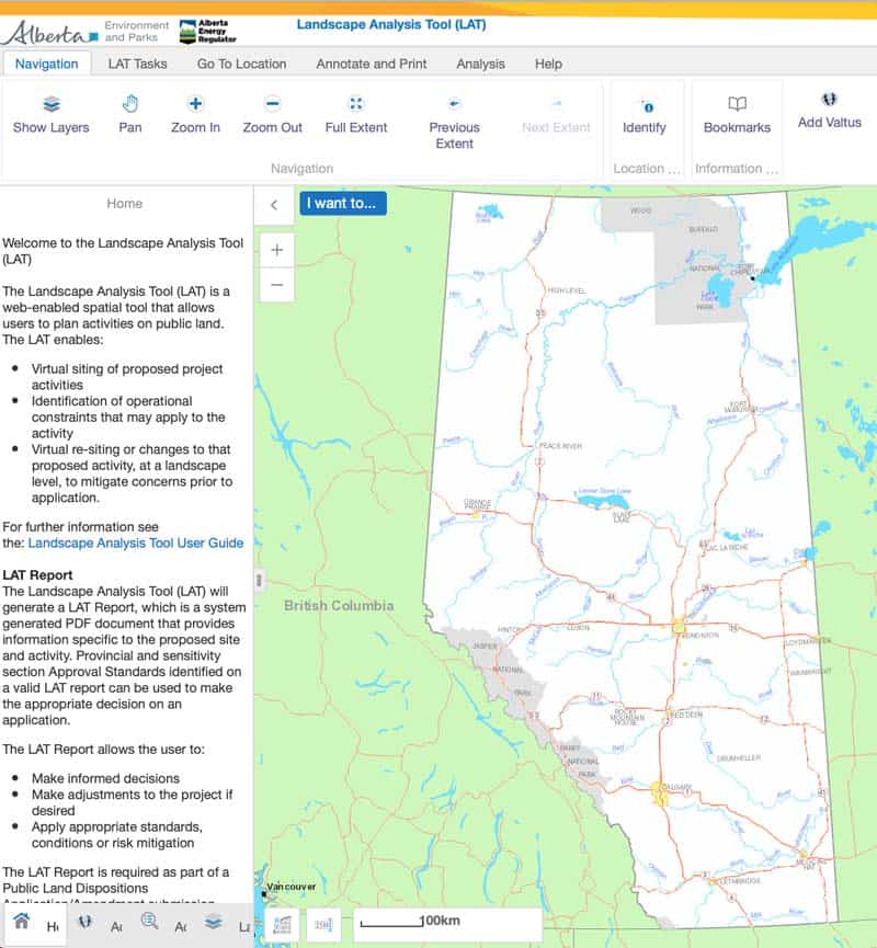
Landscape Analysis Tool – https://maps.alberta.ca/LAT/
This online map and database includes biodiversity and landscape data for sensitive regions in Alberta. The map can be used to produce landscape analysis reports – PDF documents that include sensitivity and historical information for sites with proposed activity. By identifying possible constraints at the landscape level, the Landscape Analysis Tool is useful to prepare for issue identification and mitigation.


Recent Comments