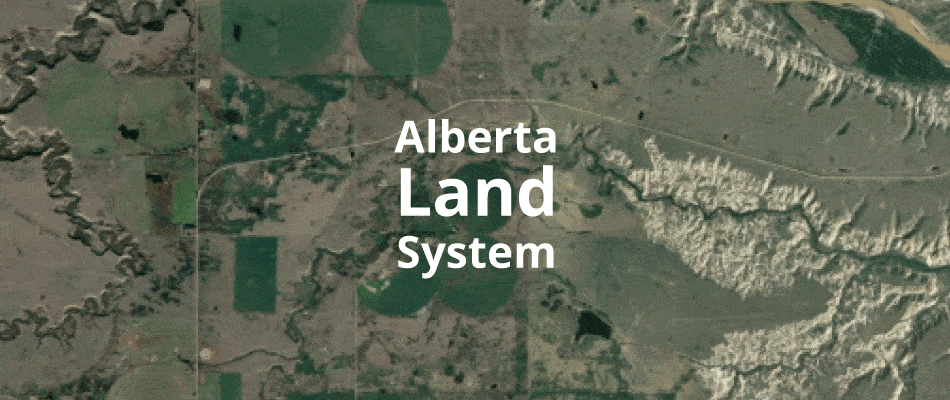
To understand the patterns of a landscape, land systems categorizes topography, vegetation and soils into standardized classifications. This assists decision makers, planners and researchers to assess and compare different regions based on their physical characteristics.
Alberta’s land systems can be reviewed in the Agricultural Region of Alberta Soil Inventory Database (AGRASID). This database includes soil classifications for all regions in Alberta, classified according to global standards. Data is provided in a geodatabase so it can be easily mapped and evaluated using GIS programs.
The Government of Alberta created a user manual for accessing and understand land systems data. Use this manual to learn about:
- Land system frameworks
- The hierarchy of regionals
- Ecozones
- Ecoregions
- Ecodistricts
- Land systems
- Soil landscapes
- Descriptions of land systems in Alberta


Recent Comments