Alberta Geothermal Feasibility Maps – https://www.cangea.ca/albertageothermal.html
Available both as PDF downloads and Google Earth map layers, the Canadian Geothermal Energy Association (CanGEA) provides maps for the heat potential throughout the province.
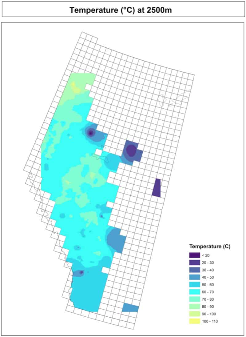
Geothermal data provided includes:
- Temperature at depths ranging from 100 metres to 6,000 metres
- Theoretical potential maps for depths of 3,000 to 6,000 metres and probability maps
- Favourability maps with subsurface favourability scores
- Air temperature and basement temperature datasets/maps
- Regional/provincial analyses for geothermal favourability
The PDFs and Google map layers are available at no charge, and the database can be downloaded for a fee. Technical descriptions and example applications are available from CanGEA.

Recent Comments