Geospatial Statistics

Geographic and Geospatial Statistics – https://www.alberta.ca/geographic-geospatial-statistics.aspx


Office of Statistics and Information, Government of Alberta

This series of maps and datasets includes census, population and divisional boundaries. Maps for regional boundaries include:

  • Statistics Canada subdivisions
  • Alberta census divisions
  • Alberta census subdivisions
  • Census Metropolitan Area boundaries
  • Census Tract boundaries
  • Dissemination Area boundaries
  • Economic Region boundaries
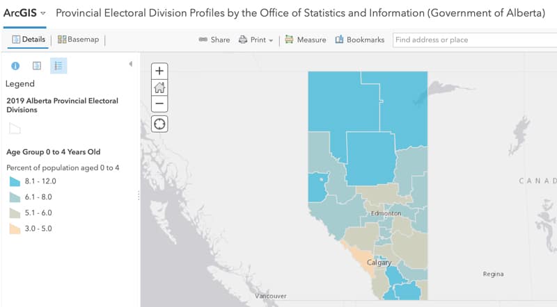
  • Provincial Electoral Division boundaries


Skills

Posted on

September 16, 2018

Subscribe To Our Newsletter

Subscribe To Our Newsletter

Join our mailing list to receive monthly news and updates from the Land-use Knowledge Network.

Thanks! You have successfully subscribed.

Subscribe To Our Newsletter

Subscribe To Our Newsletter

Join our mailing list to receive monthly news and updates from the Land-use Knowledge Network.

Thanks! You have successfully subscribed.