Geological Datasets – https://ags.aer.ca/data-maps-models/digital-data.htm
The Alberta Geological Survey provides open access to GIS data and interactive maps for Alberta regions. GIS and database data is available to download from the Open Data Portal and includes:
- Bedrock
- Surficial
- Mineral
- Seismic
A series of interactive online maps are also available:
- Minerals
- Sand, gravel and aggregate
- Radar and satellite imagery
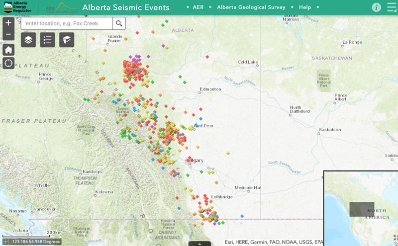
- Seismic events

Recent Comments