
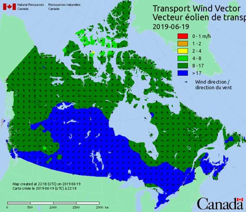
Weather Forecast for Fire Predictions – https://cwfis.cfs.nrcan.gc.ca/
This national map from the Canadian Wildland Fire Information System from Natural Resources Canada includes the information relevant to wildfire predictions and smoke forecasts:
- Atmospheric dispersion
- Mixing height
- Pasquill/Gifford/Turner stability
- Precipitation
- Humidity
- Temperature
- Prevailing winds
- Ventilation index
- Wind speed
The information included contributes to the the Canadian Wildland Fire Information System and national smoke forecasts. The “big picture” view can contribute to predicting the impacts of weather on local systems.

Recent Comments