
Alberta Wildfire Data – http://wildfire.alberta.ca/resources/maps-data/
Historical and current data for Alberta wildfires is displayed in maps and can be downloaded. Fire-related information is available, including:
- Fire bans
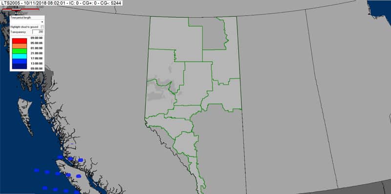
- Lightning maps
- Wildfire status
- Firefighting administrative boundaries
- Climate maps
- Historical fire weather data
- Historical spatial data
- Statistical summary for the past 10 years
GIS datasets are available for historical spatial data, and Oracle table are available for wildfire record keeping. Information requests can be submitted to PFFC.WX@gov.ab.ca.

Recent Comments