St. Albert Open Data – https://access.stalbert.ca/dev/opendata/
Explore free municipal data from the City of St. Albert. The public access portal includes information from a variety of departments, including land data, property information and demographic datasets.
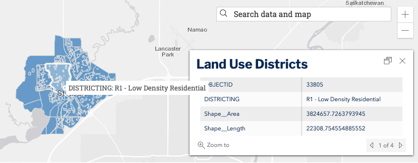
For land use planning information, relevant data includes:
- Areas that the city’s land use bylaw codes apply
- Land use districts and zoning
- Boundaries, parcels and neighbourhoods
You can explore the data as tables, shapefiles or interactive maps.
See the open data portal for St. Albert.

Recent Comments