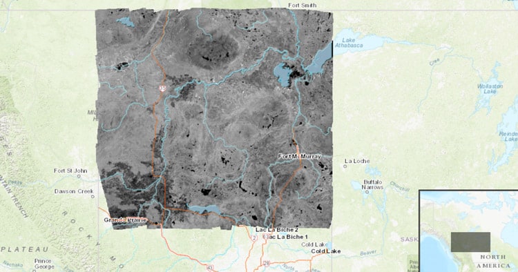
Alberta RADARSAT1 Imagery Map – https://ags-aer.maps.arcgis.com/
Explore RADARSAT imagery for north Alberta with this interactive map. The data was acquired between 1999 and 2002 and extends from the northern border down to Grande Prairie/Lac La Biche.
From the interactive map, links to topographic maps are available.
Go to the RADARSAT-1 map for northern Alberta.

Recent Comments