Historical Watershed Boundary Maps – https://www.alberta.ca/historical-watershed-boundary-maps.aspx
This series of maps were created for forest and resource managers, particularly to view the drainage basins of a region. The maps are available as PDF or photo images.
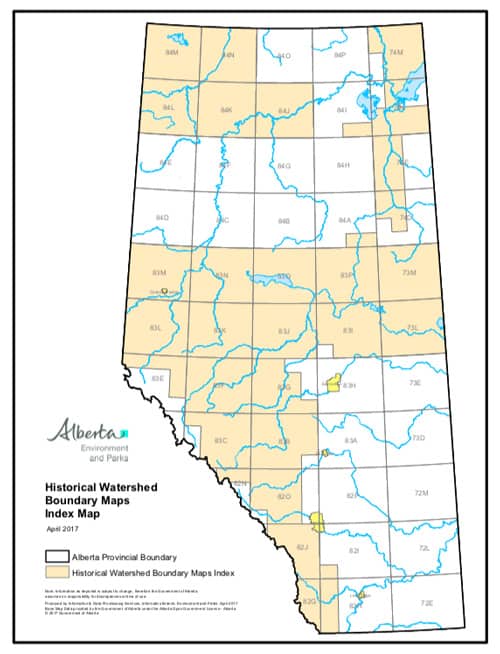
As historical maps, this dataset is no longer updated and is not complete – around a third of the province is not included in the watershed maps. The maps are a reference to water bodies, watershed boundaries and geographical information from the 1970s and 1980s.
To view these maps, use the index map to find the region. Then select the either a PDF format or TIF (image) format.


Recent Comments