AltaLIS Base and Property Maps – www.altalis.com
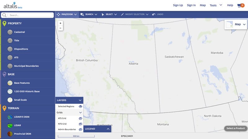
Series of land information maps including base, property, municipal boundaries, terrain, imagery and utility. AltaLIS offers both paid and free data options within the same system. Open data products include:
- GIS and CAD topographic layers
- Digital elevations for 3D modeling
- Township system points and polygons
- Municipal boundaries

Recent Comments