
City of Airdrie Open Data – https://data-airdrie.opendata.arcgis.com
The open data portal from the City of Airdrie includes spatial data and spreadsheets that are available to the public. The data is also available as web applications, so you can explore the datasets right from the website.
The main categories of data include:
- Address Points
- Administrative Boundaries
- Satellite and LiDAR Imagery
- Parks
- Transit
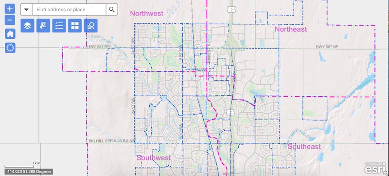
For land use planning, the datasets and interactive maps include a land use district search. Use this map to search for land use type by address or explore using the interactive map.
You can use the main page to search for a data type.

Recent Comments