Guest post published on the Alberta WaterPortal Blog
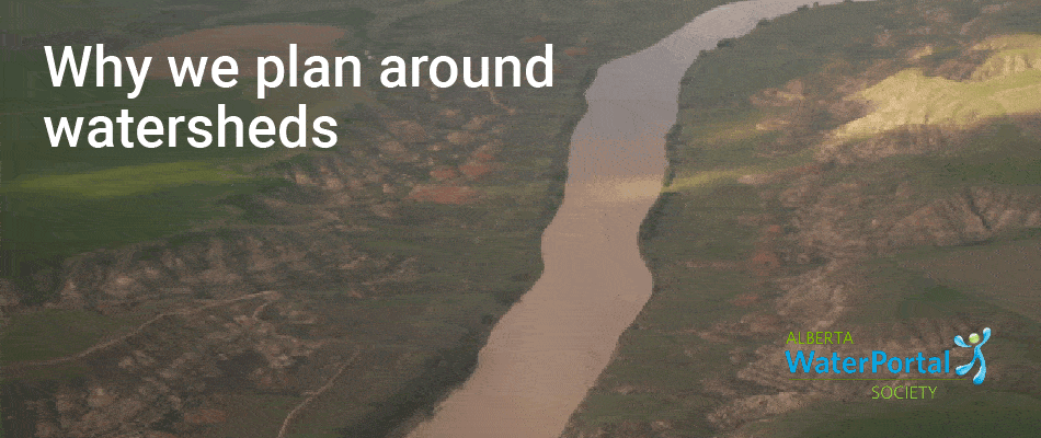
Alberta is in the process of developing and implementing regional plans for seven regions. The geographical range for each of the plans is based around major watersheds, and then the plans outline the goals and land uses applicable to that region.
Why are watersheds used to set the borders for regional plans?
This question is explored in a guest post published on the Alberta WaterPortal Blog.
About the Alberta WaterPortal Society
The Alberta WaterPortal Society was founded in 2006 to address the provinces water challenges and solutions. With collaboration between citizens, water experts, non-profit organizations and industry, the Alberta WaterPortal Society creates opportunities for dialogue, research and education. The approach of the Alberta WaterPortal Society are in line with the province’s water strategy – Water For Life.

Recent Comments